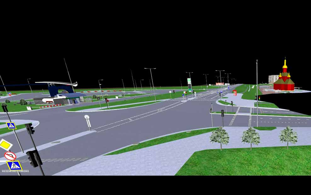
Specialists of the BIM team of the state enterprise "Belorusneft-Neftehimproekt" have developed an information model of gas station 41, located at the address: Minsk region, Slutsky district, Bokshitsky village, Republic of Belarus.
Modeling of the digital terrain model was carried out using a point cloud obtained by 3D laser scanning, underground utilities - according to the survey data. As part of the BIM project, a model of the geological structure of the earth, environmental soil samples, was developed for the first time, according to geoecological reports.
Specialists from all design departments have developed their sections using information technology tools. The result of the work was not only a highly detailed coordinated BIM model of all structures, both underground and aboveground, located within the boundaries of the design, but also drawings obtained by direct unloading from the model and having an associative connection with it. It is especially worth noting an integrated approach to modeling all sections of the design. All sections of the design are developed using information technology
The development of estimate documentation was carried out using a software package integrated with BIM platforms