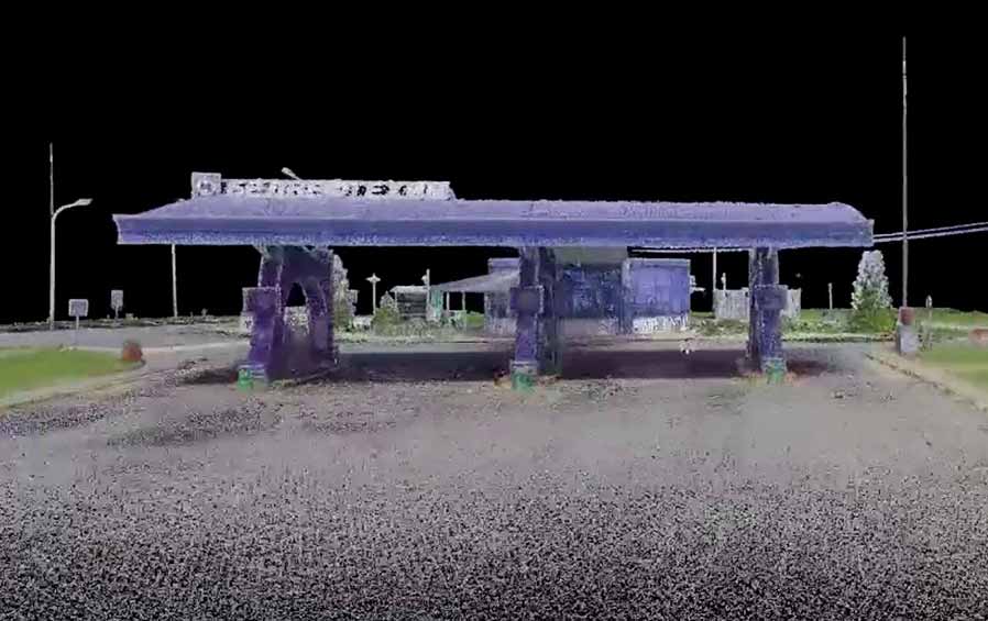
In June 2021, specialists of the geodetic survey department of the state enterprise "Belorusneft-Neftekhimproekt", as part of the development of a BIM project for the object "Reconstruction of refueling station No. 41", carried out field work on laser 3D scanning of the reconstruction object with subsequent in-house processing of the received materials.
As a result of the work, a dense cloud of dots was obtained, covering the entire territory of the gas station.
The data was used to create a digital terrain model.